How ERI Works
Geological units, anomalous geological features, water, fluids/contaminants, and man-made objects all have known resistivity ranges.
ERI collects resistivity values of the ground along the survey up to a depth of ~80 ft. Comparing survey acquired resistivity values to known resistivity ranges, an image of the ground is created and reliably interpreted.
ERI Uses
ERI can be used to find almost any object within ~15 ft of the ground surface. It can be used to see larger objects within ~80 ft of the ground surface.
ERI is a great way to find bedrock and other soil and sediment layers. It’s also an extremely successful tool for locating contaminates in the ground
ERI Benefits
There are many benefits to using ERI over other ground exploration techniques (like Ground-Penetrating Radar and trenching). These benefits include:
- low cost
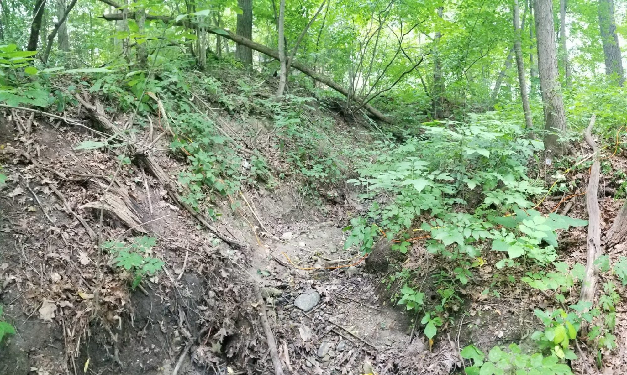
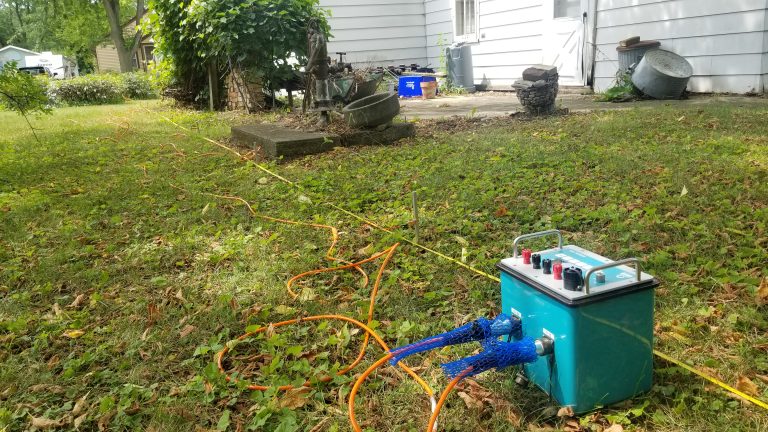
- rough terrain accessibility
- small equipment
- non-destructive
- safe acquisition
- fast information
- more information
- ground-truthing
- hazard management
